So, we did it. We moved. We downsized from a biggish house in the woods of New London, New Hampshire, to an apartment near the seacoast of New Hampshire. It takes about twenty minutes to get to the sea from our new home in Newmarket. But the Lamprey River is just outside the door. Our renovated warehouse from 1840 sits aside the old canal system that allowed the mills to make cotton and silk from 1823 to 1923.
Part I

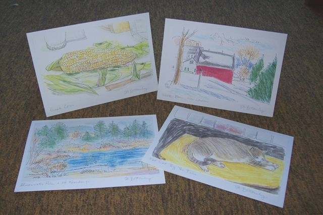
From spring of 2021 to Fall of 2022, my primary art project was this book. As our local summer stock theater expanded to become a year round performance and education space, I followed the building process with pencil drawings and watercolors. It took 113 pages to tell the story of the construction of the Fleming Center for Artistic Development on Main Street, New London, New Hampshire. Included drawings also illustrate the updating of the offices, costume shop, scene shop, the courtyard, and the new porch.

Almost every day, I drove by the site and stopped to sketch the machinery.

I caught this moment when an important conversation was happening after the old porch was torn off of the Barn Theater. Plans needed to be adjusted sometimes.

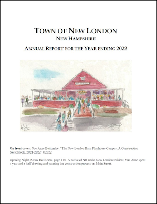
The town administrators chose one of my paintings to grace the cover of the annual Town Report. They expressed a deep understanding of the role the Barn plays in the spirit of the community.
Part II
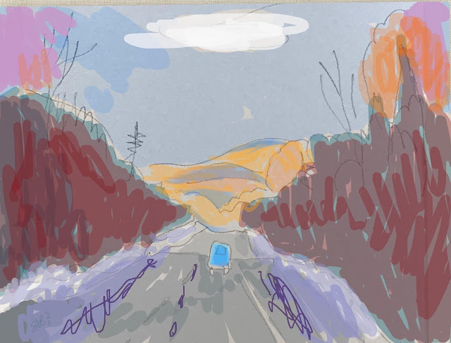
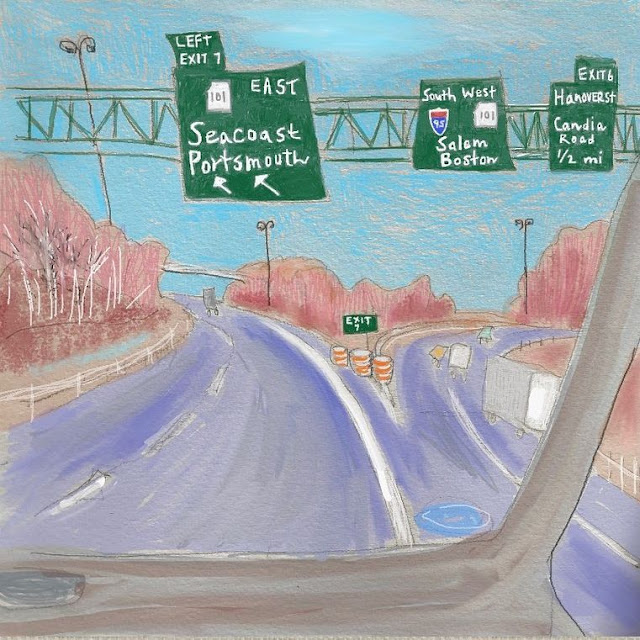
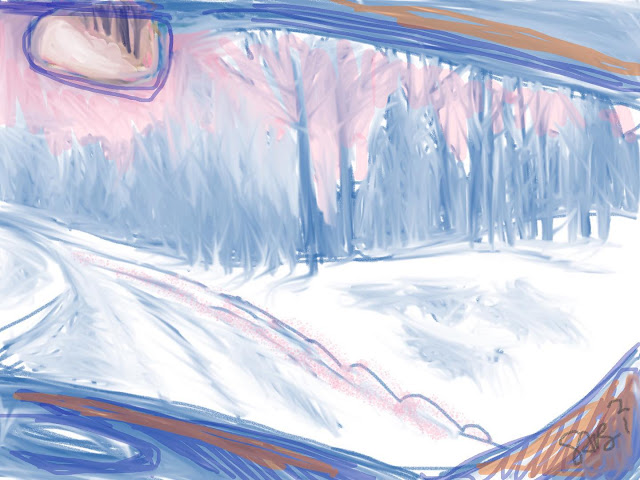
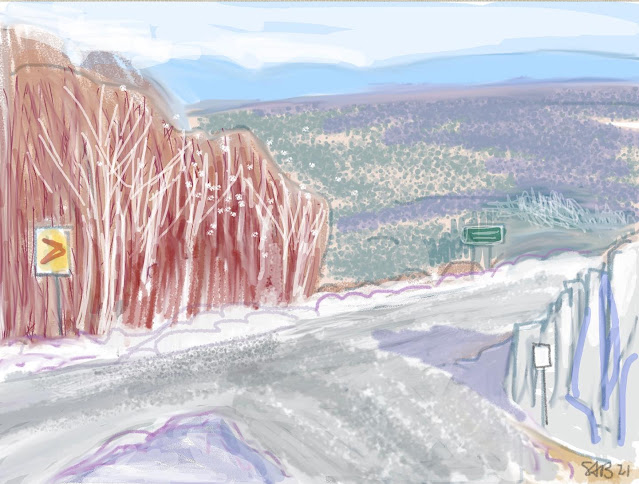
This series was made on a digital app during February and March of this year, 2023, as we made preparations to move. This process included finding an apartment with an elevator, laundry, and two bedrooms, located in walkable terrain.
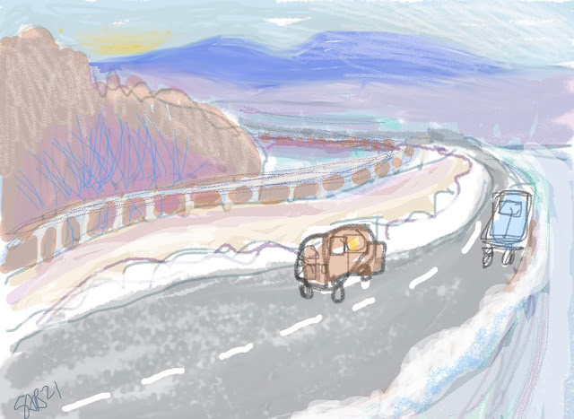
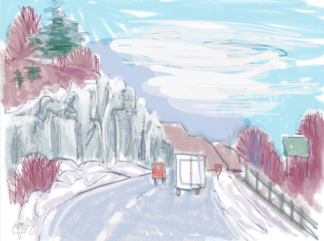
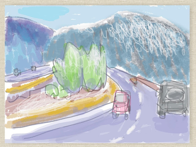
The images below are all 'remembered landscapes' of travels in many parts of the world. The winding roads were added at the end of the design process. They symbolize life's journey with twists, turns, and new vistas.


Part III
The next images were made in April, May and June as we settled into our new living area.

First a view out of our living room window overlooking the Lamprey River and the old brick and granite mills along side the dam.

The variety of wildlife fascinates us every day. At the base of the dam sit a whole row of hungry cormorants awaiting the chance to catch a fish for breakfast.

My first short car ride to the coast was on a grey and stormy day. The image is a memory of the spray as the water crashes against the rocks.

I drew on site on my iPad for this view of the tannic river water hitting the rocks at the base of the dam. I was standing on a bridge over the falls.

A cormorant swims in the mill pond in the moonlight. The black bird has a very distinctive shape.

I have spent quite a bit of time gazing out at the mill pond. Sometimes there are little whirlpools.

Our town is very near Great Bay, an estuary near the mouth of the Piscataqua River at Portsmouth, New Hampshire's only coastal city. This is the Squamscott River. Early in the spring, the plants in the brackish tidal waters were red like this.

The granite mill tower fills the sky if we look downstream. This is an acrylic painting on a board. I am just beginning to sort out what architectural images I will draw or paint in the near future.